
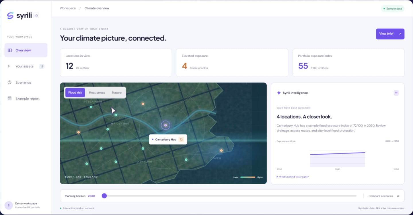
Satellites offer a remarkable view of our planet. They can help reveal land-cover change, surface conditions, and patterns across large areas. But a satellite image is not a complete description of a place. Turning pixels into evidence requires a careful chain of interpretation.
Know what the instrument observes
Different sensors measure different parts of the electromagnetic spectrum and support different applications. An optical image, a radar observation, and a thermal product are not interchangeable. The processing steps also matter: a raw observation may become a classification, an estimate, or an index before it reaches a dashboard. Find the documentation for that particular product.
Check scale and timing
A pixel can contain several land-cover types, especially near boundaries. Revisit frequency, cloud cover, seasonal differences, and processing dates affect what a comparison can support. Two images taken at different times of year may look different for reasons unrelated to a lasting environmental change. Record the relevant dates and spatial resolution with the analysis.
Bring in another perspective
Local observations, field surveys, and independent datasets can help test an interpretation. Agreement between sources can strengthen confidence, while disagreement can identify a useful next question. The goal is not to make every observation look consistent. It is to understand what each source can reliably tell you and where additional evidence is needed.
Three things to take away.
- Read the product documentation, not only the image.
- Preserve spatial and temporal context.
- Use independent evidence to test interpretations.
Further reading
Explore the underlying topics through these reference sources.